Handcrafted in Ireland
3D Topographical Maps of Ireland
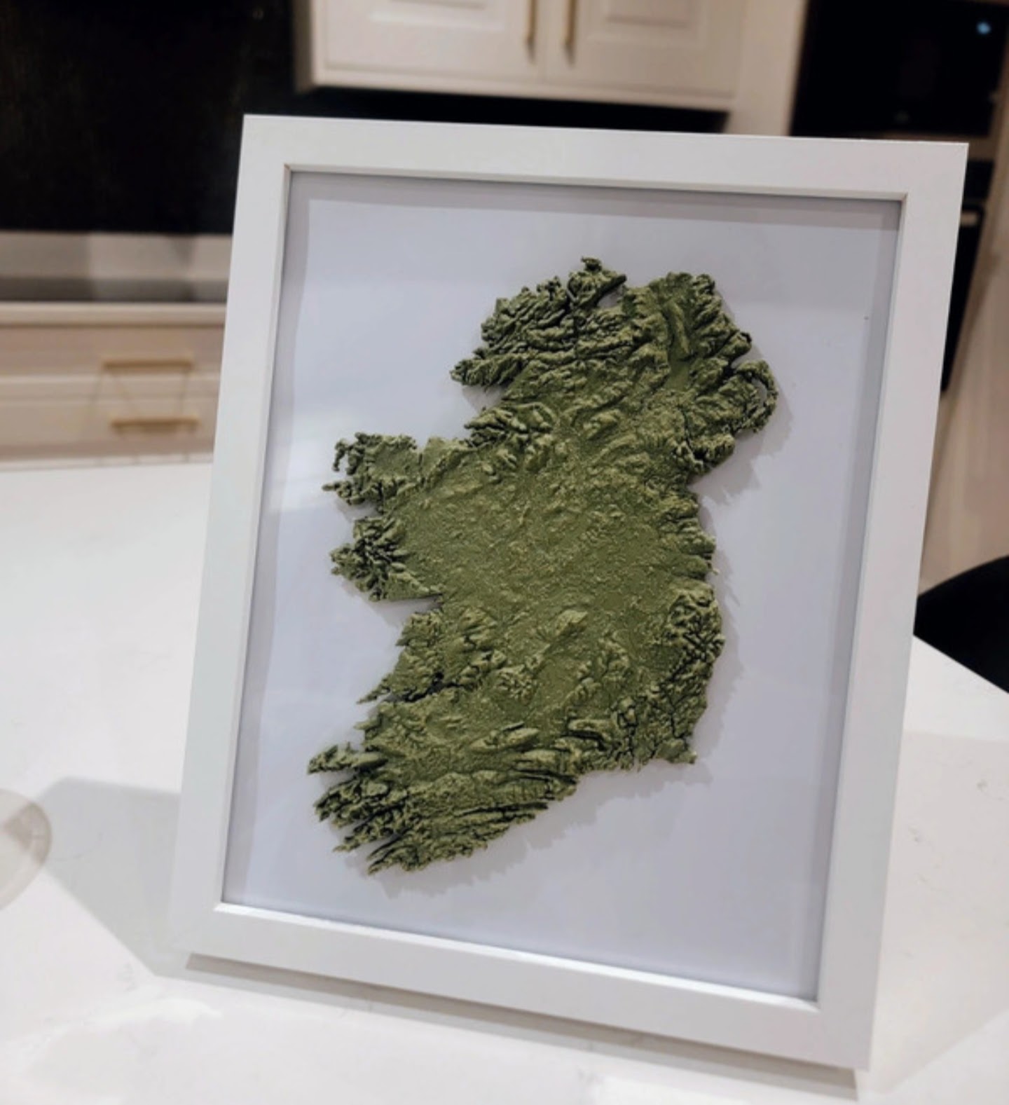
These pieces are striking relief maps of Ireland that transform the country's natural landscape into a tactile work of art. The elevated terrain captures Ireland's mountains, valleys, coastlines, and rolling hills with remarkable precision, allowing viewers to appreciate the country's geography from an entirely new perspective.
Designed from real NASA map elevation data, this artwork is both an accurate geographical representation and a contemporary statement piece. Its minimalist presentation makes it equally suited to modern homes, offices, or traditional Irish spaces, celebrating Ireland's rugged beauty in a sophisticated and eye-catching way.
Each map is crafted from PLA, a plant-based plastic made from renewable sources like corn starch or sugar cane, so the piece is both lightweight and kinder to the planet.
The Collection